Top Stories
Waterloo Region Endures 4th-Hottest Summer on Record
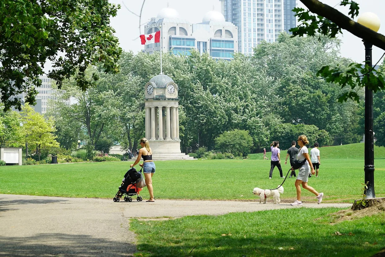
UPDATE: The Waterloo region has officially concluded its 4th-hottest meteorological summer on record, as confirmed by the University of Waterloo’s Eric D. Soulis Memorial Weather Station. The region’s summer, spanning from June to August, logged an astounding 34 days above 30°C, a staggering increase compared to the historical average of just 11 days.
Frank Seglenieks, coordinator of the weather station, expressed surprise at the findings. “I was all ready to drop the mic and say it was the warmest summer ever,” he stated. However, the data clearly shows that this summer ranks as the fourth warmest since record-keeping began in 1917. The last time temperatures soared to this level was 70 years ago in 1955.
The intense heat peaked on June 24, when temperatures reached an alarming 35°C, marking it as the third-highest temperature recorded in the station’s over 25-year history. The summer was not just hot; it was also marked by multiple heat warnings, high Humidex values that pushed “feels-like” temperatures over 40°C, and periods of wildfire smoke impacting air quality.
“This combination made for a difficult summer for a lot of people,” Seglenieks noted, highlighting the challenges residents faced. While rainfall levels were close to the historical average, the distribution was highly uneven, characterized by long dry spells followed by intense rainfalls. “It’s what we’d expect under a changing climate,” he added.
Despite the oppressive heat, this summer also shone brightly as one of the sunniest on record, with fewer overcast days than usual. As the region transitions into meteorological fall, residents can expect a return to more typical temperatures.
Meteorologist Steven Flisfeder from Environment and Climate Change Canada shared a reassuring forecast, stating, “As we get out of this weekend, we’ll be heading back towards near normal temperatures.” He anticipates daytime highs in the 23°C to 25°C range, offering a warm, comfortable start to the school year.
However, Flisfeder warns that the warm weather may not last. “It’s looking like there could be a cool down for the latter half of the week,” he explained, with temperatures potentially dipping below 20°C on Thursday and Friday as a cold front sweeps through the area. This shift could also bring shower activity and thunderstorms.
Looking ahead, Flisfeder predicts that mid-20s temperatures should linger through the end of September if current forecasts hold true. After enduring one of the hottest meteorological summers on record, students are poised to start the new school year under classic September weather.
Stay tuned for further updates as weather patterns evolve in the Waterloo region.
-

 Politics4 weeks ago
Secwepemc First Nation Seeks Aboriginal Title Over Kamloops Area
-

 World5 months ago
Scientists Unearth Ancient Antarctic Ice to Unlock Climate Secrets
-

 Entertainment5 months ago
Trump and McCormick to Announce $70 Billion Energy Investments
-

 Science5 months ago
Four Astronauts Return to Earth After International Space Station Mission
-

 Lifestyle5 months ago
TransLink Launches Food Truck Program to Boost Revenue in Vancouver
-

 Technology3 months ago
Apple Notes Enhances Functionality with Markdown Support in macOS 26
-

 Lifestyle3 months ago
Manitoba’s Burger Champion Shines Again Amid Dining Innovations
-

 Top Stories2 months ago
Urgent Update: Fatal Crash on Highway 99 Claims Life of Pitt Meadows Man
-

 Politics4 months ago
Ukrainian Tennis Star Elina Svitolina Faces Death Threats Online
-

 Sports5 months ago
Search Underway for Missing Hunter Amid Hokkaido Bear Emergency
-

 Politics5 months ago
Carney Engages First Nations Leaders at Development Law Summit
-

 Technology5 months ago
Frosthaven Launches Early Access on July 31, 2025


