SAN FRANCISCO – A new map reveals the extent of Waymo’s geofenced areas in San Francisco as the company responds to recent security concerns.
Breaking: Waymo’s Geofencing Amid Protests
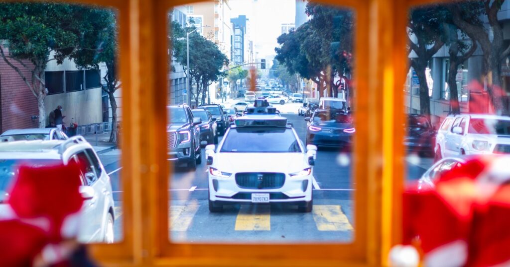
In response to large-scale protests and vandalism incidents, Waymo has instituted a geofence in San Francisco, blocking its robotaxi services in key areas. The affected zones include the Tenderloin, Financial District, Mission, Union Square, and SoMa, along with parts of Hayes Valley, Chinatown, and North Beach.
Immediate Impact
Waymo users attempting to hail a ride within these zones are met with notifications that their drop-off points are “unreachable.” This operational change follows demonstrations against Immigration and Customs Enforcement that have blocked traffic and damaged at least one Waymo vehicle.
Key Details Emerge
A map created by San Francisco engineer and Waymo user Riley Walz highlights the no-Waymo zones. While Waymo has not confirmed the map’s accuracy, field tests suggest it is reliable. Walz manually charted the map using drop-off points listed as inaccessible on Waymo’s app.
Key Statistic: The geofenced area includes landmarks such as the Ferry Building, SFMOMA, and City Hall.
Industry Response
“We take physical security seriously and continuously refine and adapt our operations in response to emerging events,” a Waymo spokesperson stated. The company has focused on passenger safety and vehicle protection, employing measures like honking, audio alerts, and contacting local authorities.
Expert Opinion: “It’s really wise to temporarily geofence,” said Kara Kockelman, a transportation engineering professor at the University of Texas at Austin. Waymo vehicles, equipped with high-tech sensors, are estimated to cost up to $200,000 each.
By the Numbers
The recent “No Kings” demonstration is expected to draw tens of thousands, prompting Waymo to maintain its restricted service areas for the foreseeable future.
What Comes Next
Experts predict that geofencing, risk assessment, and coordination with police will become standard practices for robotaxi companies. “Companies run thousands of simulations to test responses to erratic drivers and harsh conditions,” noted computer scientist Weisong Shi.
Challenge: “Understanding the intentions of nearby individuals is crucial for protecting robotaxis,” Shi added.
Background Context
The decision to geofence comes amid a backdrop of protests and vandalism in Los Angeles, where five Waymo vehicles were torched. As companies grapple with these challenges, new technologies such as fire-resistant LIDAR units and enhanced sensors are being considered.
Technical Insight: “If they say they’re going to create a fire-resistant LIDAR unit, then they’re going to have to rewrite all the software that’s interpreting that type of data,” explained Leilani Gilpin, a UC Santa Cruz professor.
Expert Analysis
Rajit Gadh, a UCLA engineering professor, foresees the addition of temperature and odor sensors and cooling mechanisms if attacks on Waymo vehicles persist. “The interwoven nature of the technology presents new challenges,” he said.
The announcement comes as autonomous vehicle companies assess new strategies to protect their fleets while maintaining service in urban environments.